
The town of Osoyoos is in southern British Columbia, just above the USA border. It lies on Osoyoos Lake, and in fact crosses the lake. This region of British Columbia is very arid; the transition from lush farmland along the lake to dry brush at higher elevations is very easy to see in summer. Highway 3, the Crowsnest Highway, passes right through the town(and crosses the lake at the same time).
Here is a photo of the town, taken in early autumn 2014.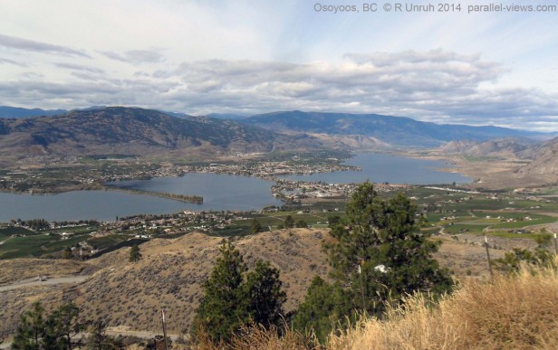 Split into individual colour channels, the photo looks like this. As usual, the blue channel has the greatest haze obstructing the background, and the red the least.
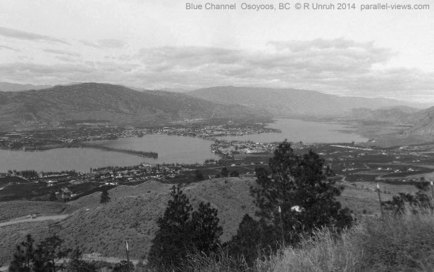
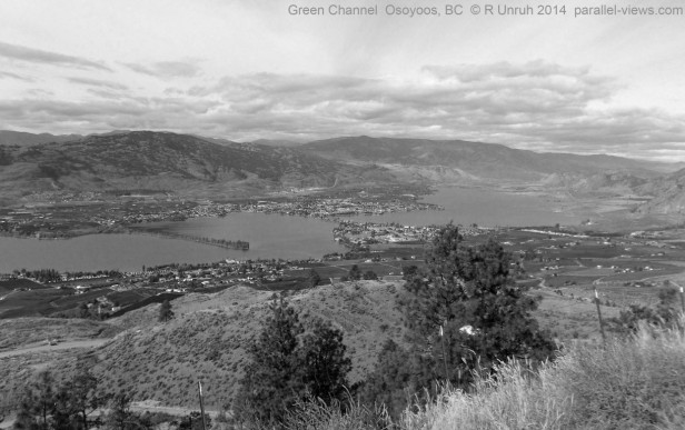
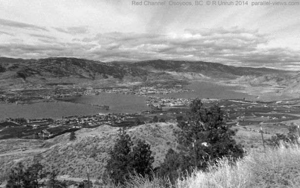
Finally, here it is in 760 nm infrared. 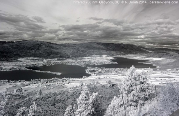
There isn’t much to mention in this comparison that I haven’t mentioned in previous posts. The living plants in the field are brighter than the surrounding landscape, and are better at reflecting infrared. Conversely, in near infrared, the water is much darker than in visible wavelengths. For once, the clouds and sky do not look significantly different between the red channel and the 760 nm photo; with no clear sky visible, the infrared photo is only slightly better at contrasting the clouds than the red photo.
The visible photo was taken with a Canon Rebel T3 camera; the infrared photo is with a converted Panasonic Lumix camera with a Zomei 760 nm filter.
