Red/Cyan 3D glasses will be needed to view the photos.
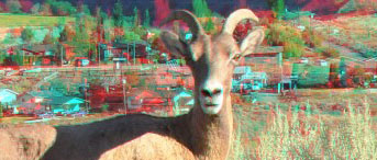
I’ve passed through Spences Bridge more times than I can count(these specific photos are from 2012). It lies along the Trans-Canada Highway, one of the main routes connecting southern British Columbia to the north.
When driving through the Fraser Canyon, the transition in the vegetation is startling. In contrast to the lush rainforests of the British Columbia coast, Spences Bridge is located along the Thompson River, in some of the driest regions of the Province. It is a small town, surrounded by mountains. In the heat of summer, the town feels like the location of a Western film. 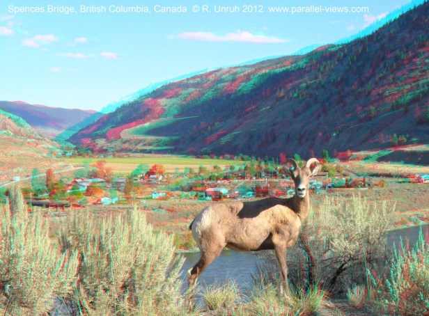
 After you cross the Thompson River traveling south, a waterfall is visible behind the railroad tracks. The waterfall is officially called Murray Creek Falls, and is easy to spot.
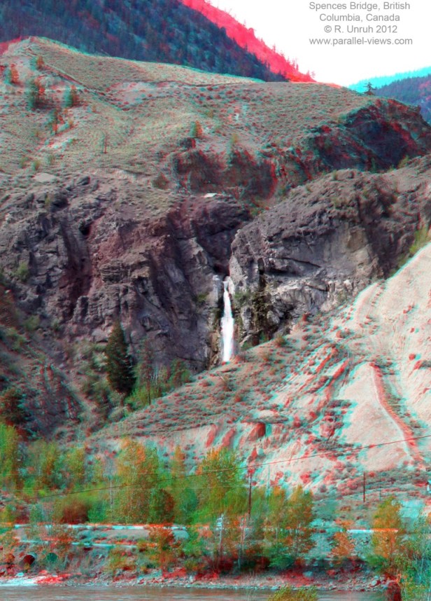
This last picture is actually south of Spences Bridge, along the Trans-Canada Highway. This is one of several flat plateaus surrounded by mountains and valleys.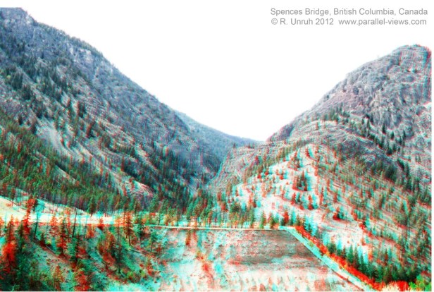
From Spences Bridge, visitors can travel south through the Fraser Canyon to BC’s Lower Mainland, east to the lakes and farms of the Okanangan Region, or north into the Boreal Forest.
