One last post before vacation time! I’m heading… east. That’s about all the plans I’ve got. Drive east until I run out of road or time. So to celebrate, lets look west.
Prince Rupert. The town lies along Highway 16(which is a Trans-Canada Highway, but not the ‘cool’ one). Technically, Highway 16 picks up again on Haida Gwaii/ The Queen Charlotte Islands, but Prince Rupert is the end of the continuous road- the island section is only accessible via ferry.
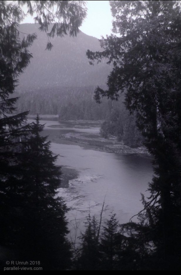
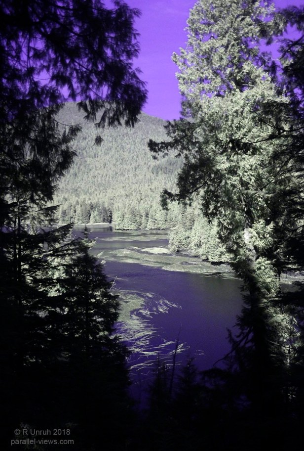
The Butze Rapids trail lies just outside Prince Rupert. It is a 6 km long looped trao, and the rapids are about 1/3 the way along one direction.
The rapids aren’t river rapids; they’re caused by the tidal flow in and out through a narrow channel. I was told that if you watch the flow at the right time, the rapids are quite dramatic. I, of course, DIDN’T go at the right time, instead going near full tide.
… I really hate planning ahead. I hate it more when I realize that I SHOULD have planned ahead.
I don’t have much to say about these photos that I haven’t said for dozens of other photos, so I’ll just present them. Enjoy!
Visible:

Visible(red channel):

Visible(green channel):

Visible(blue channel):

Infrared(Zomei 950 nm filter):

Infrared/Ultraviolet(Schott UG11 filter):
Ultraviolet(Schott BG40+ Schott UG11 filters):

Ultraviolet(Schott BG40+ Schott UG11+ Short Pass filters):